

安装 Steam
登录
|
语言
繁體中文(繁体中文)
日本語(日语)
한국어(韩语)
ไทย(泰语)
български(保加利亚语)
Čeština(捷克语)
Dansk(丹麦语)
Deutsch(德语)
English(英语)
Español-España(西班牙语 - 西班牙)
Español - Latinoamérica(西班牙语 - 拉丁美洲)
Ελληνικά(希腊语)
Français(法语)
Italiano(意大利语)
Bahasa Indonesia(印度尼西亚语)
Magyar(匈牙利语)
Nederlands(荷兰语)
Norsk(挪威语)
Polski(波兰语)
Português(葡萄牙语 - 葡萄牙)
Português-Brasil(葡萄牙语 - 巴西)
Română(罗马尼亚语)
Русский(俄语)
Suomi(芬兰语)
Svenska(瑞典语)
Türkçe(土耳其语)
Tiếng Việt(越南语)
Українська(乌克兰语)
报告翻译问题


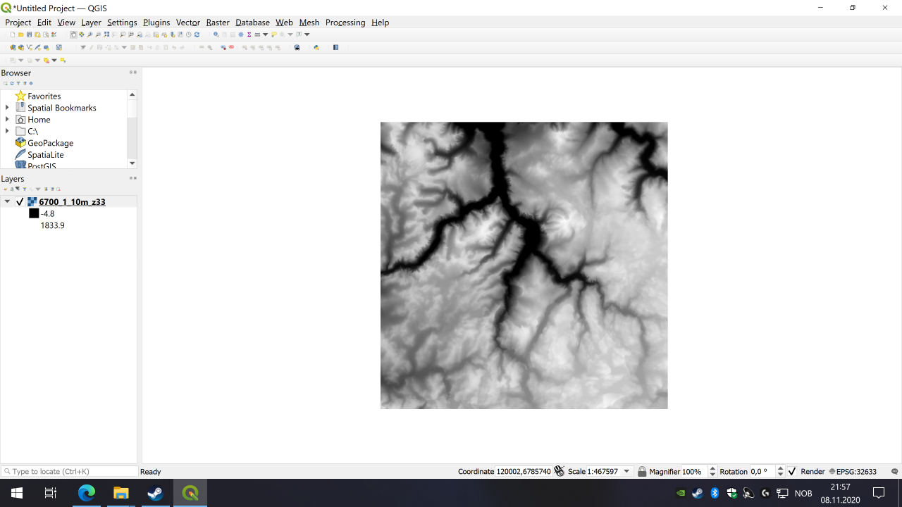
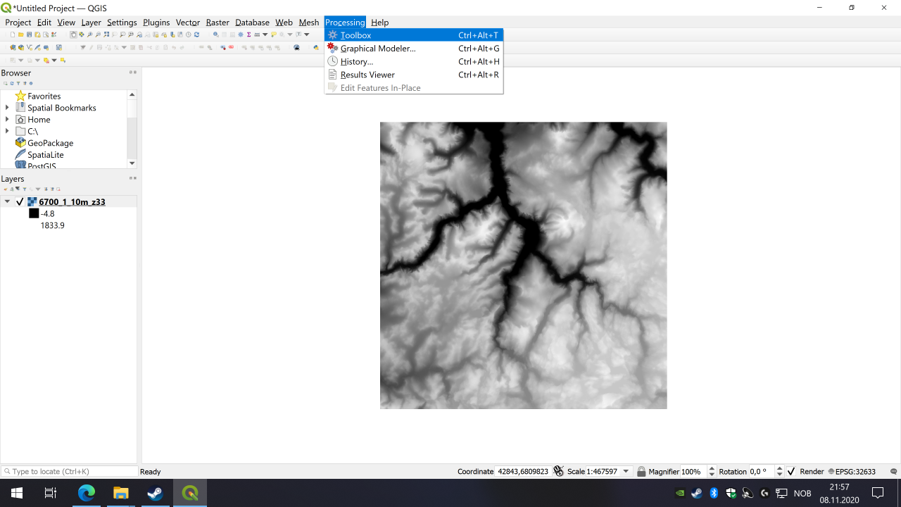
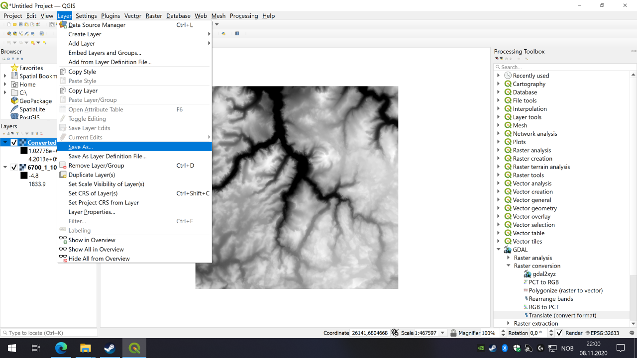

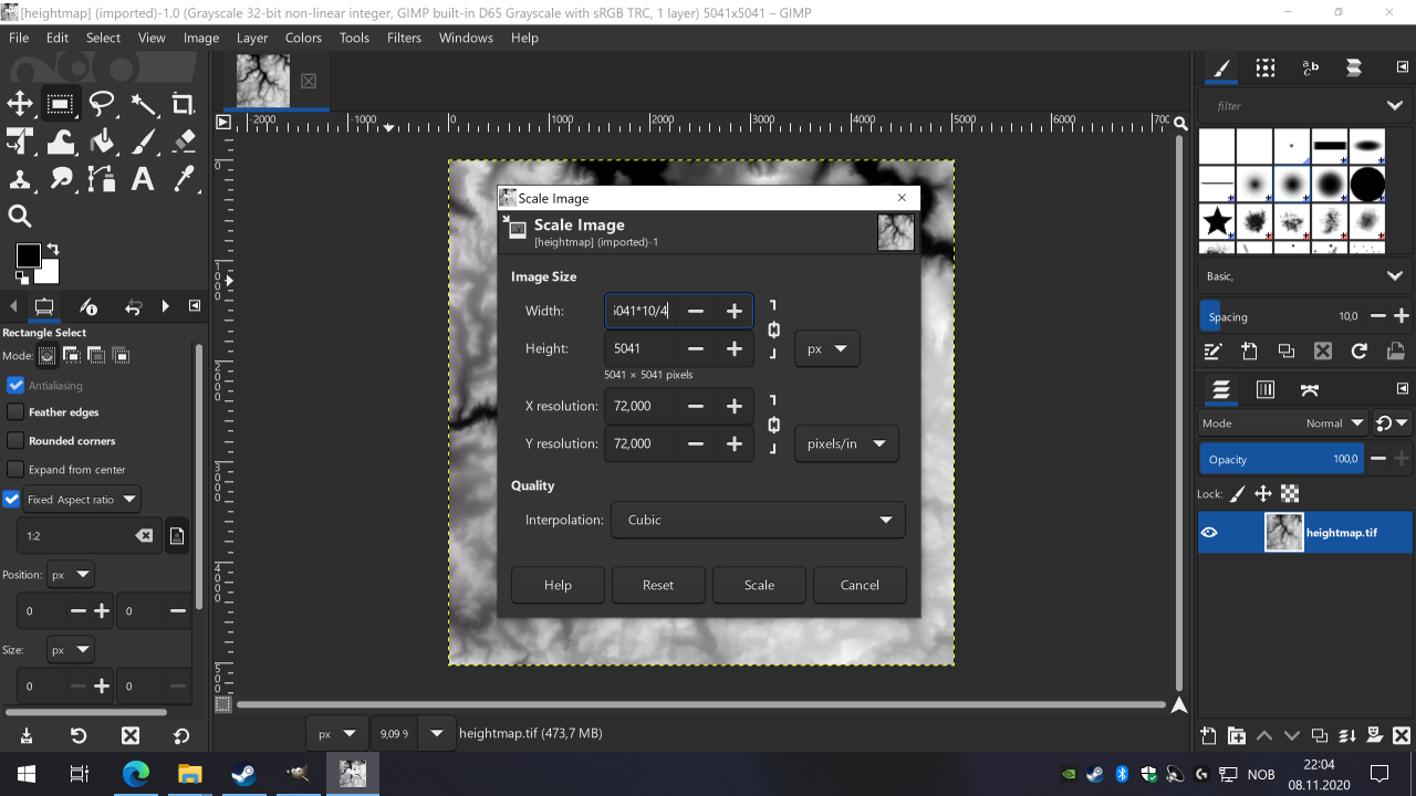

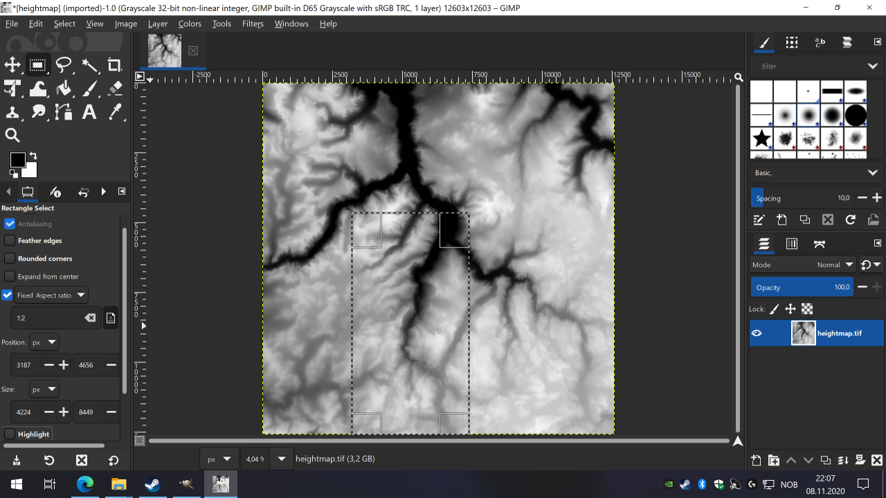
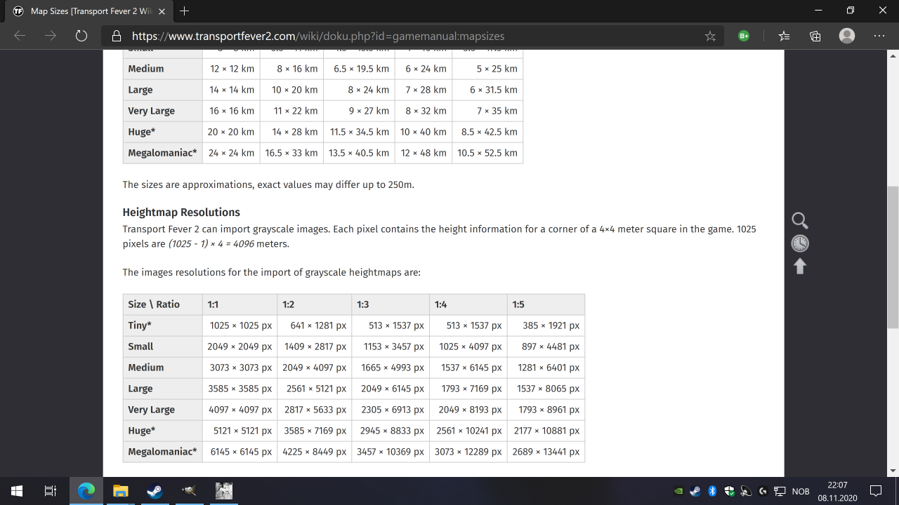
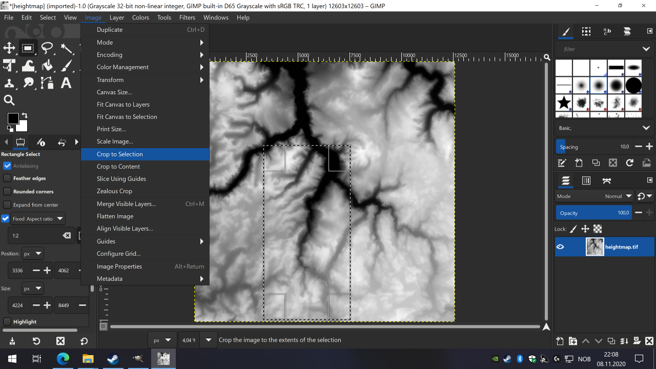
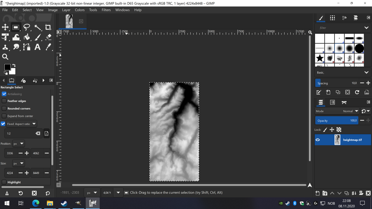

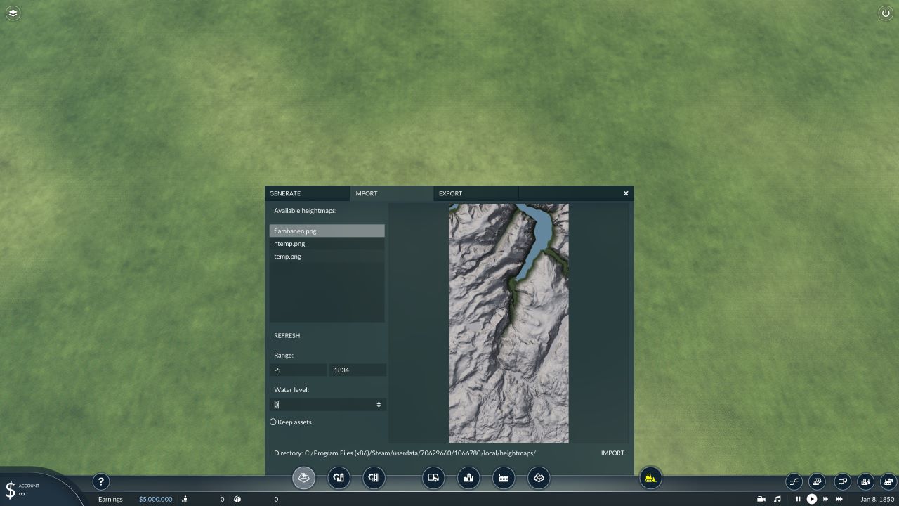
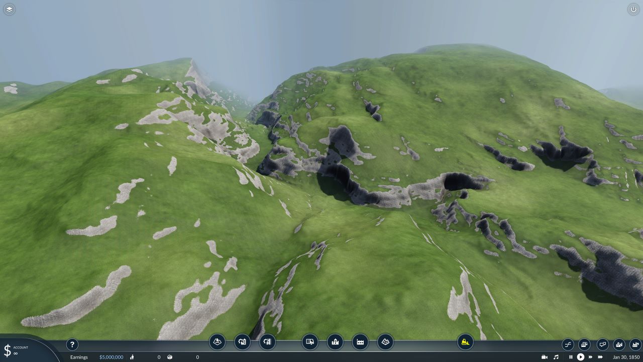


A note for those creating maps covering a large area, say making a northeast US map, you're likely working with multiple DEM tiles:
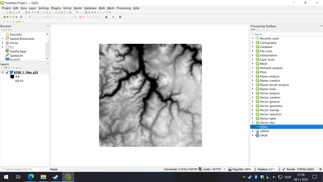
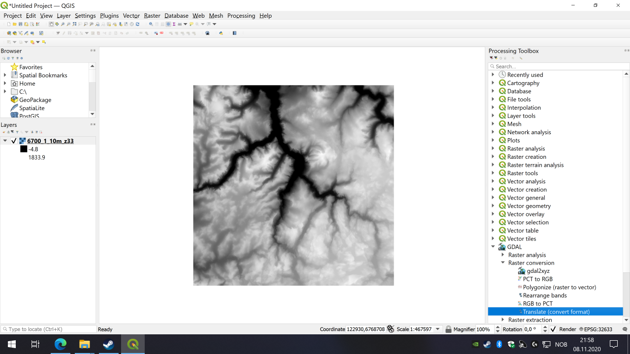
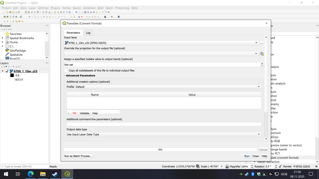
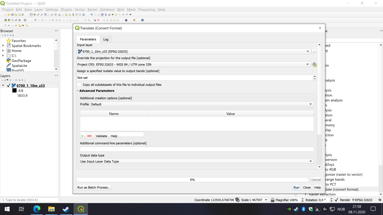
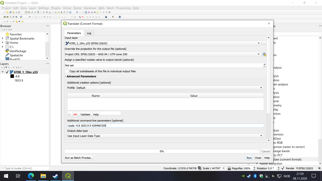
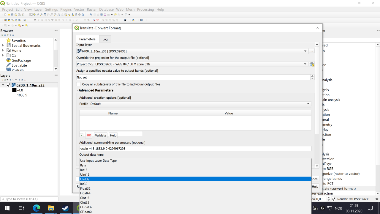
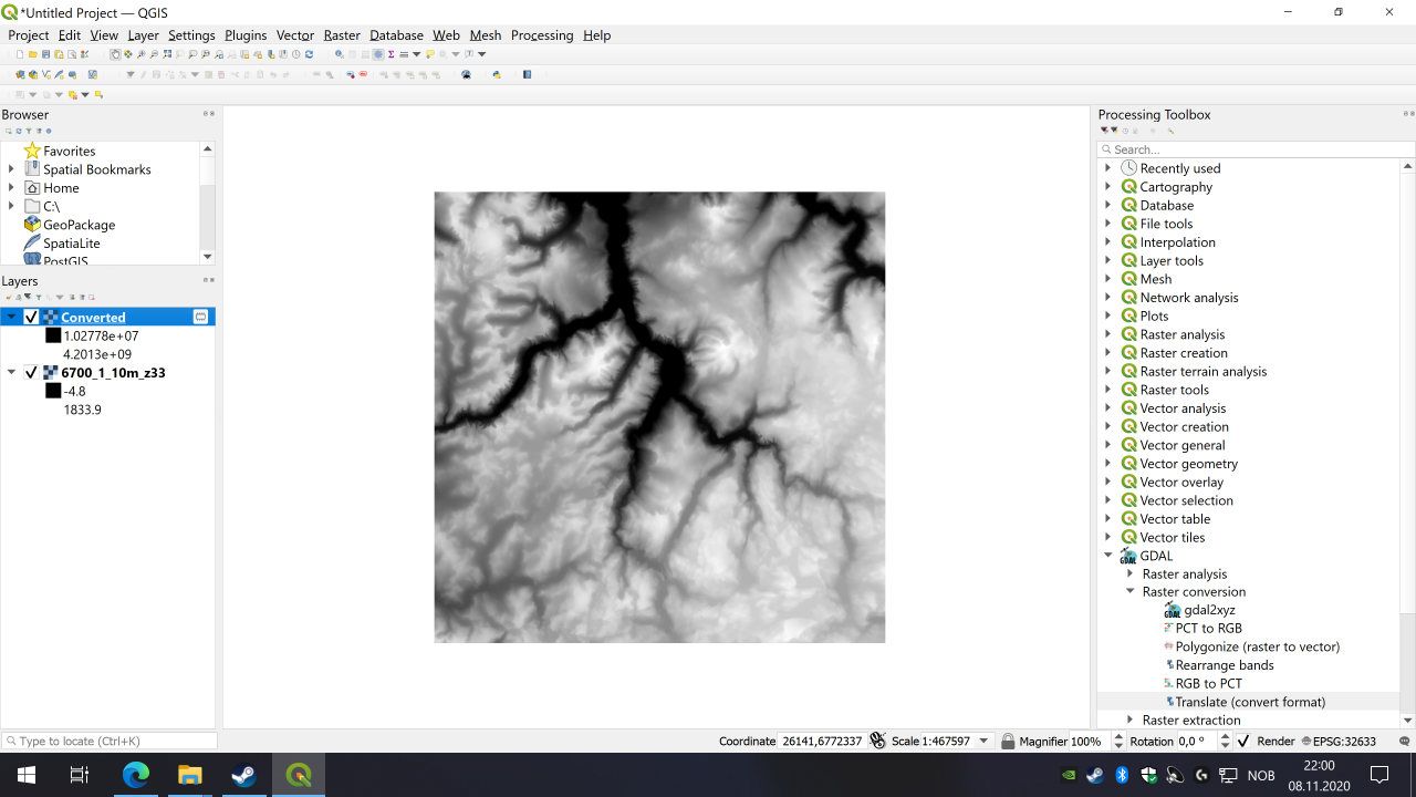
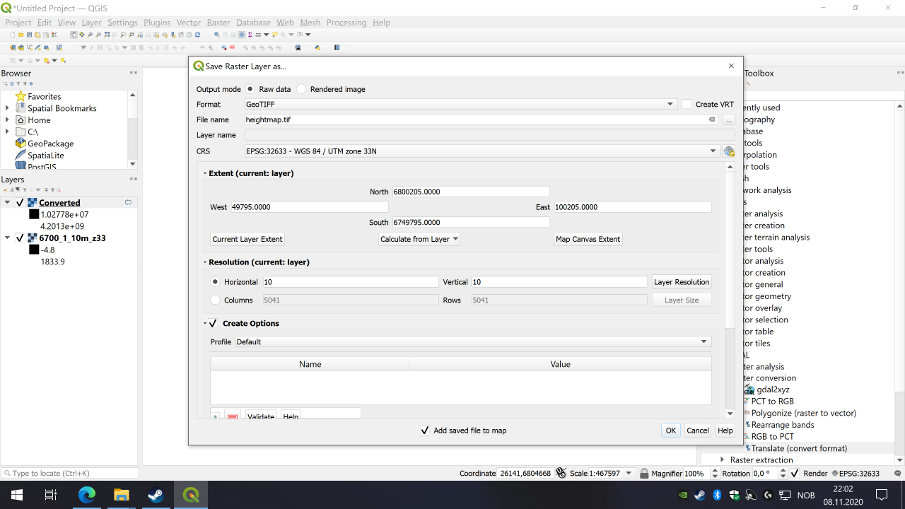
In QGIS the tool you'll want to use is Processing Toolbox > GDAL > Raster misc. > Merge. This merge tool, in addition to combining your DEM tiles, can do everything the conversion tool can do. It has the 'output data type' field to specify UInt32, and the 'Additional command-line parameters' as part of the conversion.
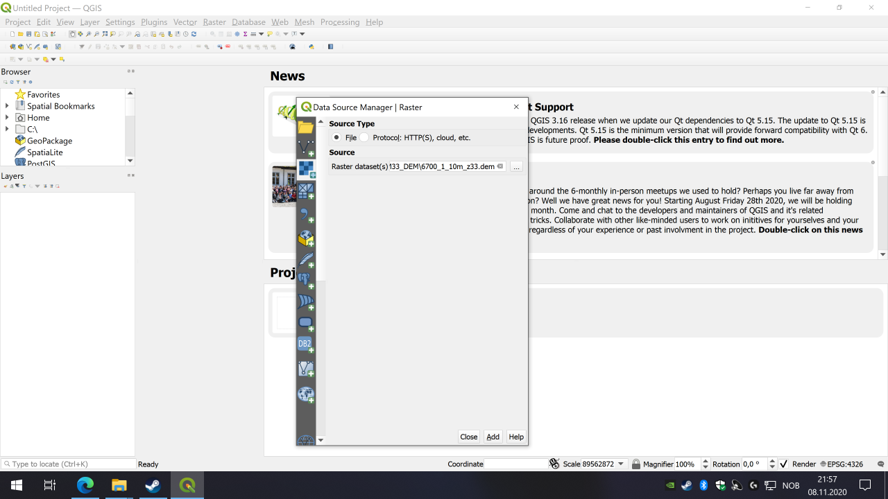
I'm using this site
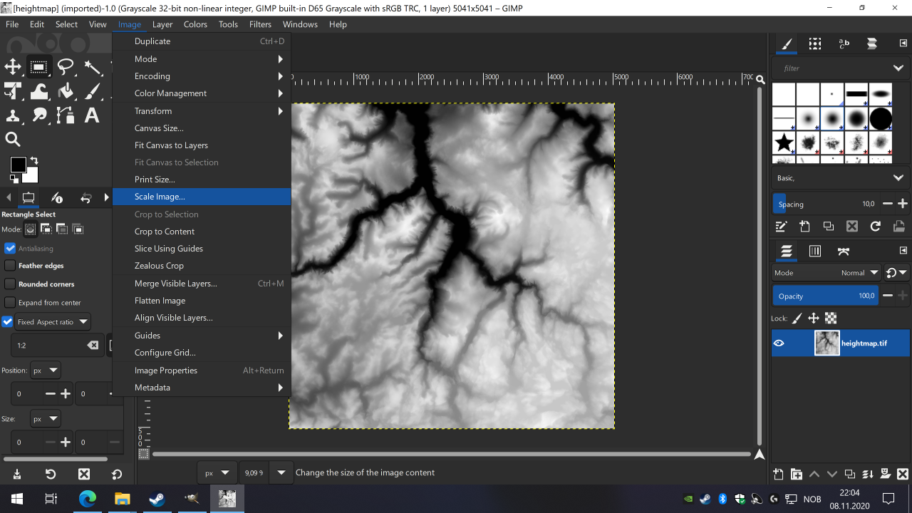
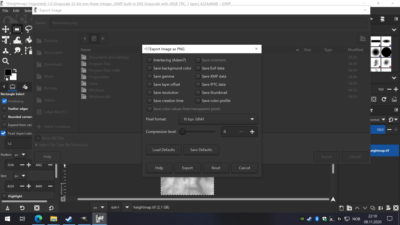
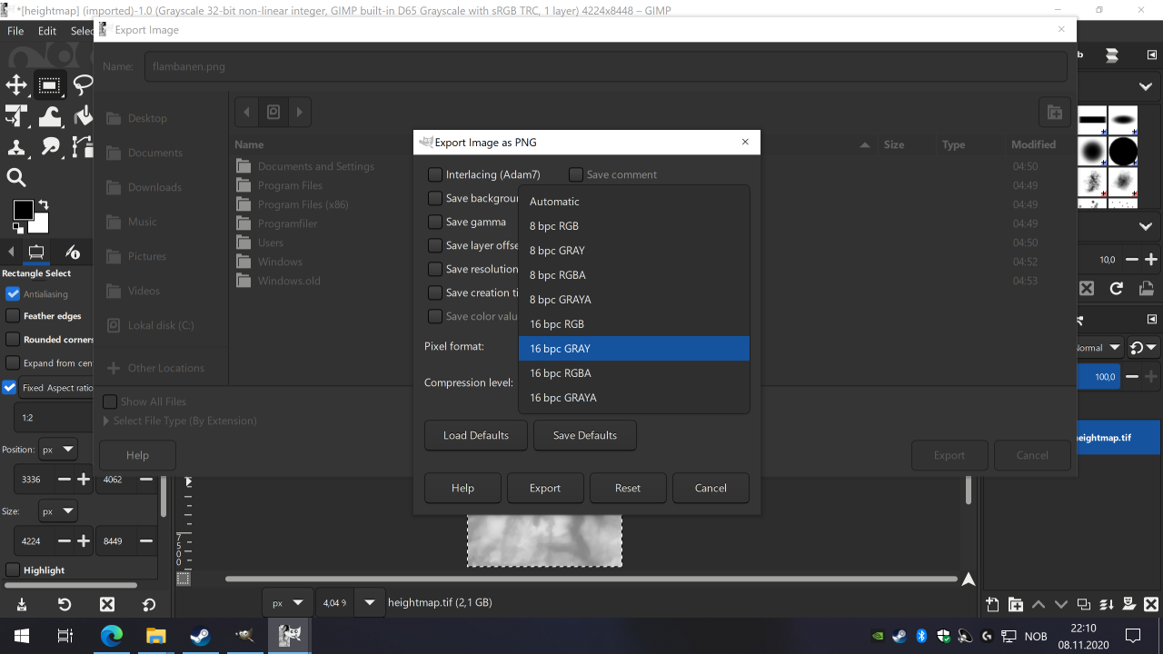
The images I've been working with give me the checked pattern (gray/white checkerboard) in GIMP with a lot of errors (GEOTiff files). I'm assuming perhaps I'm not starting with the proper data format to begin with.